As wildfires and rising sea levels fueled by climate change threaten communities around the globe , Willamette faculty and students are leading projects that involve direct responses to the post-disaster landscapes, opening new discoveries — and possibilities for preserving precious cultural landmarks.
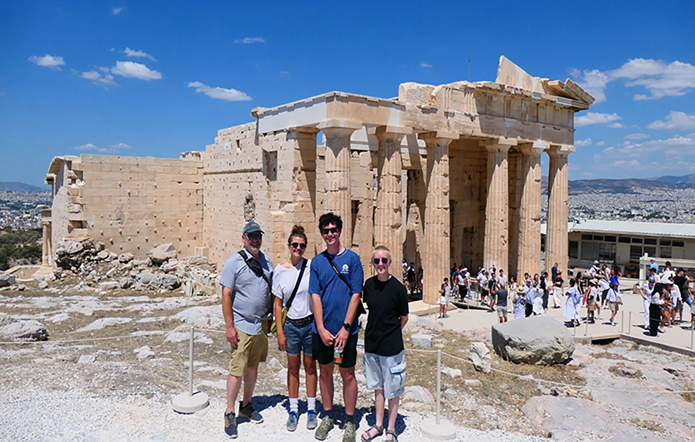
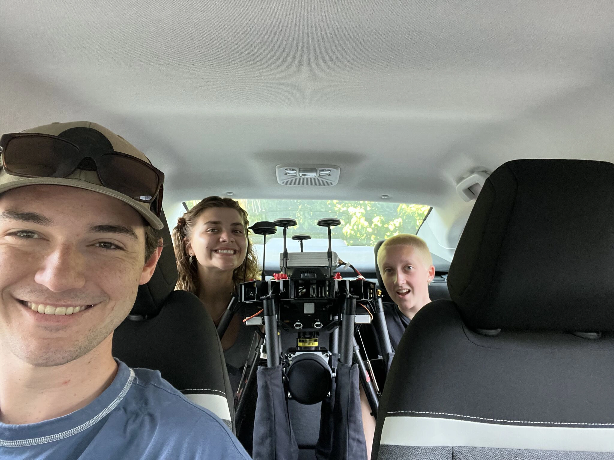
Last summer, Professor of Environmental Science and Archaeology Scott Pike led a team of three students to Attica, Greece to survey the charred landscape on the southern slopes of Mount Pentelikon, burned in wildfires from 2024. While the research was conducted far from Willamette’s campus, the team gathered crucial data using techniques that may inform future wildfire policy closer to home in the Pacific Northwest.
“Although the wildfires were devastating, the silver lining was that they revealed otherwise undiscovered potential archaeological features,” shares Ada Rickard BS’27, one of three Environmental Science students on the trip. “We had several exciting findings, like potential terracing in several locations in Daou Pendeli. We were also able to demonstrate the utility of drone surveying in post-wildfire monitoring.”
Along with Environmental Science major Jason Lehman BS’27 and Archaeology and Environmental Science double-major Sage J Miller BS’27, the team embarked on the two-and-a-half week research trip as part of Willamette’s Science Collaborative Research Program, which funds hands-on summer research projects for student-faculty teams. In preparation for their journey, students learned how to plan flight missions and gather data from three different types of surveying aircrafts that used an RGB camera, thermal imaging, and millions of laser pulses.
“We created a photorealistic 3D model of the landscape with much higher fidelity than a typical satellite image,” says Lehman. “The thermal images allowed us to see invisible patterns hidden beneath the topsoil. All of the data was compiled in software packages used to create models with high levels of accuracy. This means we can reference our data for very precise measurements.”
In addition to potential terraces, the group also found what appear to be foundations of ancient buildings, such as a tower known to be in the region but whose exact location had been lost to history. All their findings were reported to Greece’s Ministry of Culture to send a team of archaeologists to confirm and date their findings.
Pike frequently brings students abroad on summer archaeological research trips, including projects at Willamette’s Archaeology Field School on Scotland’s Orkney Islands. His aim is to help students gain valuable field experience and become comfortable with the most up-to-date technology used in the field. However, he also seeks to provide a meaningful experience travelling abroad.
“Students engage with the discomfort of being in a different place. Maybe they don’t know anyone, they’re unfamiliar with the foods, eating hours, how to do laundry and shopping,” Pike says. Underpinning the students’ journey abroad is a sense of responsibility and respect for the sites they are seeing.
“The wildfires in Attica were, and continue to be, devastating to so many local communities, and it was important to listen to their perspectives,” shares Rickard. “Professor Pike taught us to step back as outsiders, to note how lucky we were to be allowed to both enter and conduct research in a community that was not our own.
The project, whose findings will be compiled for publication in academic journals and presented at conferences, poses implications for site preservation back home in Oregon.
“Using drones for environmental monitoring is key to providing detailed data by creating high-resolution maps and 3D models,” shares Miller. “In cases where conditions prove to be dangerous or difficult to access, deployment of drones are critical in accessing the damage and aiding recovery efforts.”
The technology could be used to protect historical locations in Oregon from the next devastating wildfire, such as important tribal landmarks and sites.